
Our ecosystem,
powering your city
Explore how our products, platforms, and tools help you create solutions for your city to move more efficiently, grow greener, and thrive economically.
Planners and decision makers
Google Earth
Meet the urban heat challenge
Pinpoint hotspots, assess community needs, and target interventions for cooling strategies like trees and reflective roofs.
Build sustainably
Plan greener projects, faster, by identifying ideal building locations, accelerating solar analysis, and analyzing environmental impact.
Improve EV infrastructure
Layer EV demand and infrastructure data into actionable insights to spot ideal locations and plan strategically.
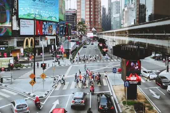
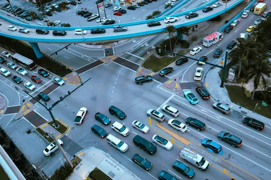
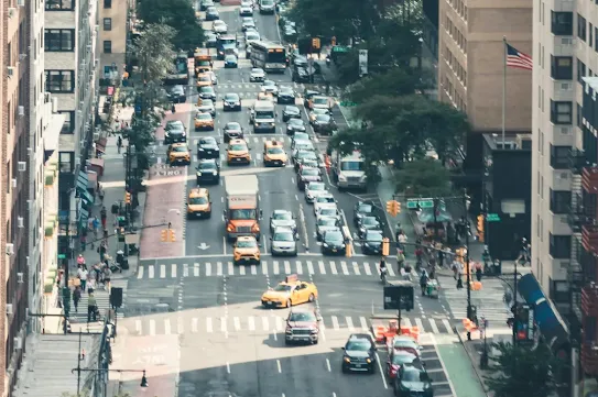
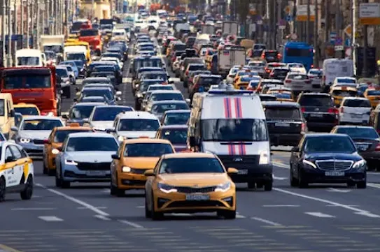
Road Management Insights
Planning & investment
Build predictive models, understand traffic patterns, and identify problem areas to guide infrastructure improvements and traffic management strategies.
Real-time traffic monitoring
Detect unexpected events, gain immediate awareness of traffic conditions, and enable rapid response to incidents.
Transform traffic management
Benefit from scalable coverage, flexible integration options, and predictable costs with a fixed monthly subscription.
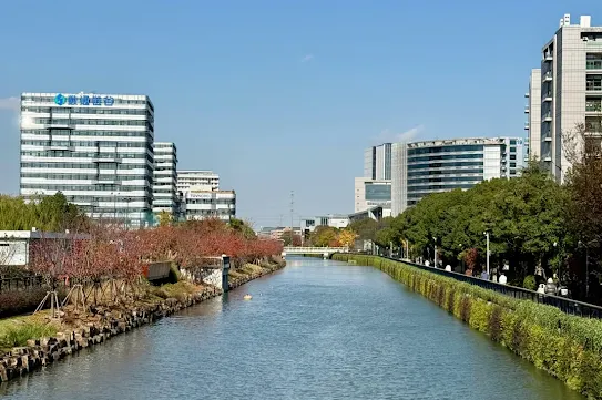
Environmental Insights Explorer
Transportation emissions
Analyze year-over-year trends in activity and emissions, including changes in transportation mode splits.
Building emissions
Estimate emissions from buildings to monitor progress on climate goals and program implementation.
Rooftop solar potential
Assists cities in the acceleration and adoption of solar energy by providing accurate solar potential estimates for their buildings.
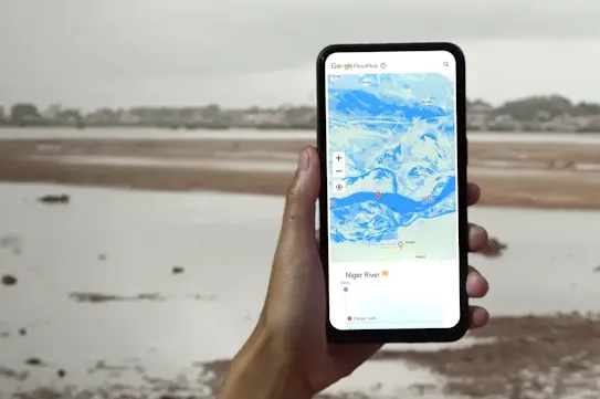
Flood Hub
Advance flood forecasting
Provides forecasting of riverine floods up to 7 days in advance.
Global coverage
Covers riverine floods in over 150 countries.
AI-powered model
Powered by a breakthrough global hydrological AI model combined with publicly available data sources.

Advance flood forecasting
Provides forecasting of riverine floods up to 7 days in advance.
Global coverage
Covers riverine floods in over 150 countries.
AI-powered model
Powered by a breakthrough global hydrological AI model combined with publicly available data sources.
Green Light
Reduce stop-and-go traffic
Uses Google Maps driving trends to recommend traffic signal changes that reduce stop-and-go traffic and emissions.
Reduce emissions
Potential for up to 10% reduction in emissions at intersections.
Optimize traffic lights
AI tool that measures traffic trends at intersections and develops recommendations that traffic engineers can use to optimize the timing of traffic lights.
Data partners
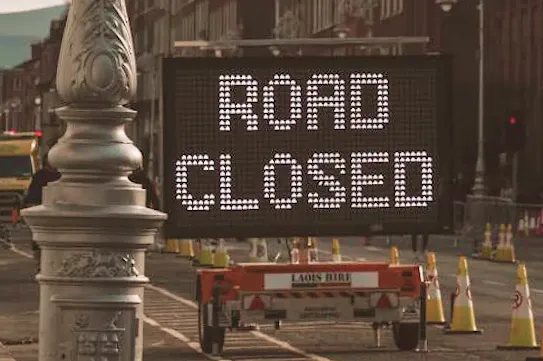
Keep your community informed and safe
Broadcast road closures, hazards, and accidents to your city’s drivers on both Waze and Google Maps.
Guide, alert, and inform every driver
A direct line of communication to drivers for proactive advisories on permanent planned changes, scheduled traffic events, and real-time reporting of unplanned disruptions.
Monitor traffic & road incidents in real time
Monitor real-time traffic in your area and update the map with traffic incidents.
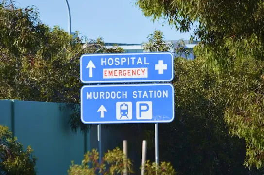
Google Maps Content Partners
Safer, more efficient navigation
Enhance road safety, reduce congestion, and encourage eco-friendly travel by sharing geospatial data with Google Maps and Waze.
Support tourism and local businesses
Improve visibility for small businesses and enhance the experience for tourists by ensuring your city's map data is accurate.
More accessible civic services
Share critical information during emergencies, keep the public informed about civic projects, and ensure essential services are easily discoverable.
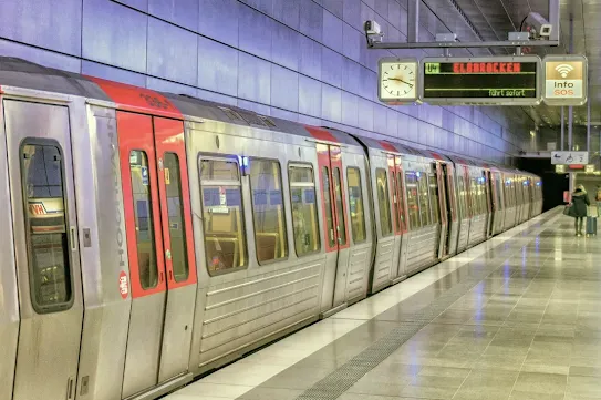
Google Transit Partners
Real-time updates
Provide passengers with accurate, live transit information.
Multi-language support
Passengers can plan trips in their native language, with Google’s multi-language options.
Mode shift
Prompt riders when there are options for more sustainable transportation choices using transit.

Real-time updates
Provide passengers with accurate, live transit information.
Multi-language support
Passengers can plan trips in their native language, with Google’s multi-language options.
Mode shift
Prompt riders when there are options for more sustainable transportation choices using transit.
Residents, visitors, and
local businesses
Google Maps
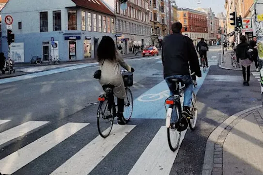
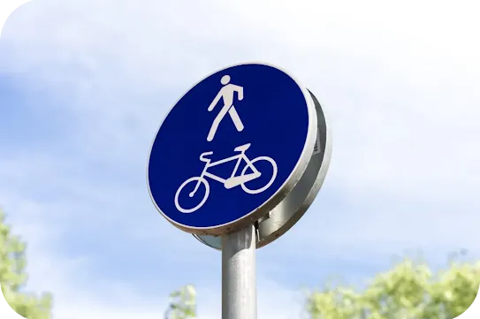
Mode suggestions
Proactive mode suggestions to lower-carbon travel alternatives (i.e. biking, walking or public transports)
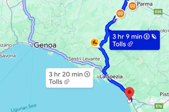
Eco-friendly routing
Displays the fastest and most fuel-efficient route to help drivers save on fuel and reduce emissions.
Public transportation
Provides public transportation information and real time data together with our Google Transit Partners.

Mode suggestions
Proactive mode suggestions to lower-carbon travel alternatives (i.e. biking, walking or public transports)
Eco-friendly routing
Displays the fastest and most fuel-efficient route to help drivers save on fuel and reduce emissions.
Public transportation
Provides public transportation information and real time data together with our Google Transit Partners.
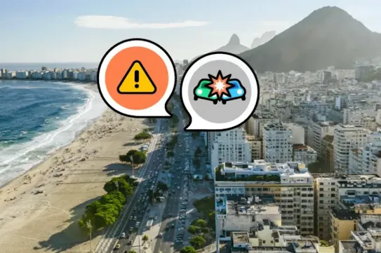
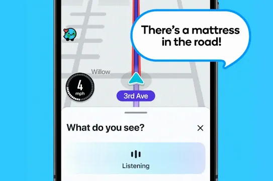
Safety & real-time alerts
Enhances driver safety by providing advance warnings of speed reductions, emergency vehicles, and crash-prone areas.
Hyperlocal community contributions
A vast network of local map editors and real-time data collection help provide critical safety information and alerts.
Reporting & validating
Empowers drivers to contribute real-time information by reporting & validating incidents, ensuring that the app's map and traffic data remain fresh and up-to-date.
Google Business Profile
Help find new customers
With free Google Business Profiles, local businesses can turn people who search for their goods and services on Google Search and Maps into new customers.
Increase accessibility to civic services
Claim ownership of government buildings, offices and public venues, and ensure information such as opening hours and services are accurate and updated for constituents accessing your services.
Personalize your profile
Businesses can personalize their profile with useful information like operating hours, photos, special offers, posts, and more.
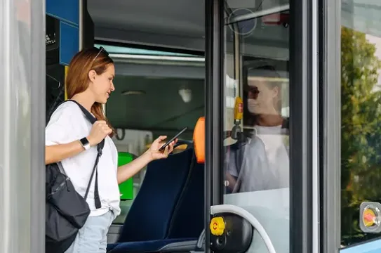
Google Wallet
Digitize transit passes
Transit users can store digitized transit passes in their Google Wallet and travel seamlessly on public transports.
Supercharge fares policy impact
View fare cap progress, savings applied through transfer discounts, off-peak journeys and pollution days.
Build the customer relationship
Engage all mobile customers, whether they pre-purchase a ticket or pay as you go with a bank card. Send push notifications to highlight benefits and resolve issues before they escalate