
Link to Youtube Video (visible only when JS is disabled)
Waze for Cities is your megaphone to hundreds of millions of Waze and Google Maps drivers.
How Waze for Cities helps cities
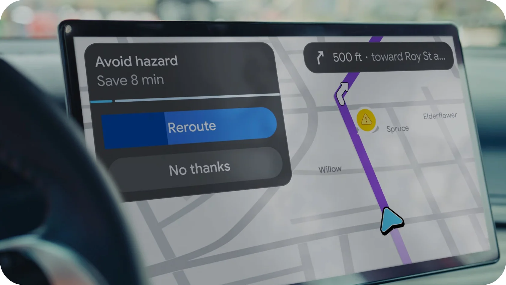
Waze for Cities (WFC) bridges this gap by providing a free, unified data platform that empowers public sector teams to communicate directly with drivers. Through the Waze Partner Hub, authorities can broadcast real-time road closures, hazards, and accidents to drivers on both Waze and Google Maps, ensuring that critical information reaches the people who need it most, when they need it most. This direct line of communication enables cities to guide, alert, and inform every driver, transforming traffic management from a reactive process to a proactive partnership.
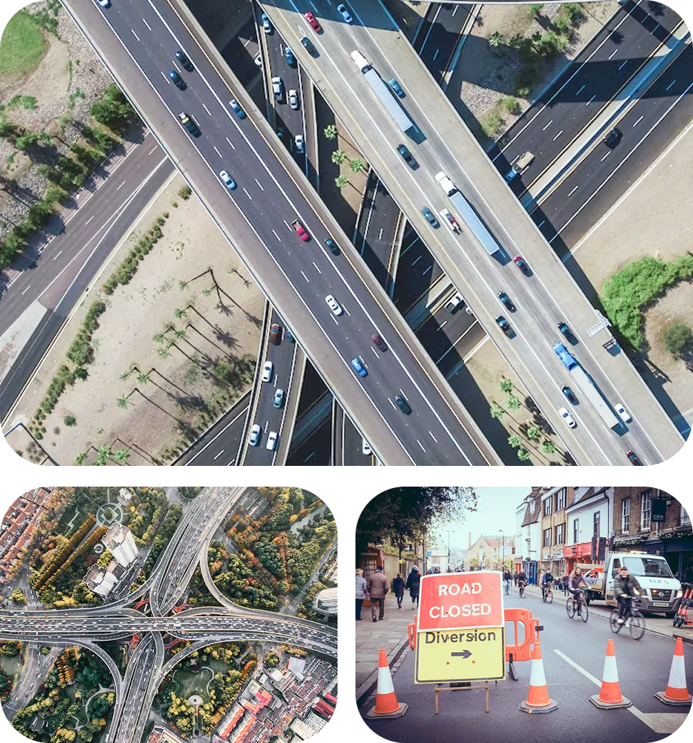
Waze for Cities is the primary gateway for sharing real-time road disruption data to both Google Maps and Waze. Partners can share a variety of data types, including real-time and planned road closures, non-closure road disruptions such as construction, crashes, lane closures, and traffic events.
Waze for Cities is the primary gateway for sharing real-time road disruption data to both Google Maps and Waze. Partners can share a variety of data types, including real-time and planned road closures, non-closure road disruptions such as construction, crashes, lane closures, and traffic events.

Key benefits
Keep your community informed and safe
Broadcast road closures, hazards, and accidents to drivers on both Waze and Google Maps to enhance road safety and keep your community moving efficiently.
A direct line to every driver
Waze for Cities provides a direct line of communication to drivers for proactive advisories on permanent planned changes, scheduled traffic events, and real-time reporting of unplanned disruptions.
Monitor traffic & road incidents in real time
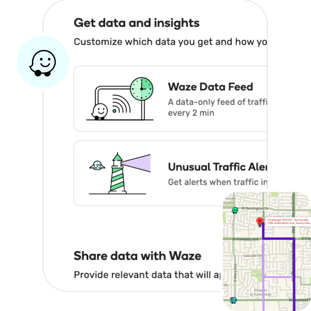
The platform provides tools to monitor real-time traffic in your area and update the map with traffic incidents, giving you a live pulse of your city’s roads.
Harness the power of community
Leverage a vast network of local volunteer map editors and real-time data from over 200 million drivers to source and validate critical safety information and alerts, especially during crisis events.
Crisis management at its core
During natural disasters or man-made emergencies, Waze for Cities enables rapid alerts and facilitates efficient communication between cities, drivers, and emergency responders to support critical evacuation and response efforts.

Keep your community informed and safe
Broadcast road closures, hazards, and accidents to drivers on both Waze and Google Maps to enhance road safety and keep your community moving efficiently.
A direct line to every driver
Waze for Cities provides a direct line of communication to drivers for proactive advisories on permanent planned changes, scheduled traffic events, and real-time reporting of unplanned disruptions.
Monitor traffic & road incidents in real time
The platform provides tools to monitor real-time traffic in your area and update the map with traffic incidents, giving you a live pulse of your city’s roads.
Harness the power of community
Leverage a vast network of local volunteer map editors and real-time data from over 200 million drivers to source and validate critical safety information and alerts, especially during crisis events.
Crisis management at its core
During natural disasters or man-made emergencies, Waze for Cities enables rapid alerts and facilitates efficient communication between cities, drivers, and emergency responders to support critical evacuation and response efforts.
Impact on users and cities
Waze for Cities is designed for public authorities, including transportation departments, emergency services, road operators, and other public agencies responsible for managing traffic and public infrastructure. The platform provides these partners with the tools they need to improve traffic flow, enhance road safety, and communicate directly and effectively with their constituents on the road. By integrating authoritative data with community-powered insights, Waze for Cities empowers cities to build a smarter, safer, and more resilient transportation network.


We value our partnership with Waze and how it’s benefiting the community in Charlotte. By providing users with up-to-date information about closures, both planned and emergency, travelers can adjust their routes accordingly.
In a growing city like Charlotte, where traffic conditions can be complex and dynamic, this technology is invaluable for optimizing the existing transportation network. Through this partnership, Charlotte is harnessing the power of technology to improve travel for residents and visitors, while contributing to the city’s long-term sustainability and livability.
Debbie Smith
Director, Charlotte Department of Transportation, USA
Director, Charlotte Department of Transportation, USA
Learn more about Waze for Cities
See the product in action and explore how it works in the real world
