
Google Maps Content Partners
Sharing data to ensure the world is searched, explored, and navigated accurately.
The Google Maps Content Partners (GMCP) program is a free platform that empowers authoritative partners to make their geospatial data accessible and useful to hundreds of millions of Google users.

How Google Maps Content Partners helps cities
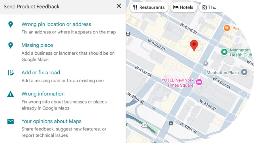
The Google Maps Content Partners portal provides a centralized and efficient platform for authoritative partners to share their geospatial data directly with Google. This ensures that the most accurate and up-to-date information is reflected on Google Maps and Waze. The platform offers a variety of ways to contribute data, accommodating different needs and levels of technical expertise:


Data types and format we support
GMCP accepts a wide range of data types to support various use cases, from basic navigation to local discovery. The platform supports both static data uploads and real-time feeds to accommodate different data sharing needs.

Supported data types
- Basic navigation & orientation: Road geometry, names, and attributes; addresses; political boundaries; and parking lots.
- Local discovery: Points-of-interest, park boundaries, and trails.
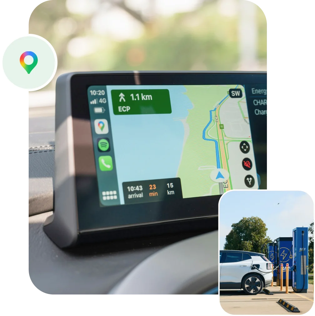
- Urban Mobility & Sustainability: Electrical Vehicle Charging Stations, bike lanes, pedestrian data, Low Emission Zones.
- Other: Drone, overhead, and indoor imagery.
Key benefits
By partnering with GMCP, organizations can unlock a range of benefits for their communities:
Safer, more efficient navigation
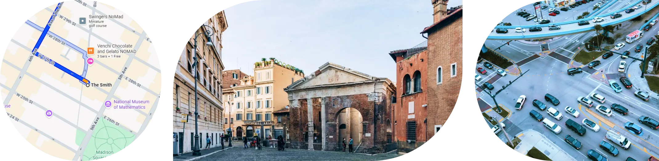
Enhance road safety, reduce congestion, and encourage eco-friendly travel by sharing real-time information on road conditions, speed limits, and closures.
Support tourism and local businesses
Improve the visibility of small businesses and enhance the experience for tourists by ensuring that local points of interest, parks, and landmarks are accurately represented on the map.
More accessible civic services
Keep the public informed about civic projects, ensure essential services like hospitals and fire stations are easily discoverable, and share critical information during emergencies to keep citizens safe.

Safer, more efficient navigation
Enhance road safety, reduce congestion, and encourage eco-friendly travel by sharing real-time information on road conditions, speed limits, and closures.
Support tourism and local businesses
Improve the visibility of small businesses and enhance the experience for tourists by ensuring that local points of interest, parks, and landmarks are accurately represented on the map.
More accessible civic services
Keep the public informed about civic projects, ensure essential services like hospitals and fire stations are easily discoverable, and share critical information during emergencies to keep citizens safe.
Impact on users and cities
By providing a direct line of communication to Google, GMCP enables its partners to ensure that their communities are accurately represented on the world’s most popular mapping platforms, leading to a more informed, efficient, and engaged citizenry.
Here are the organizations possessing authoritative geospatial data that make an impact on cities.
Here are the organizations possessing authoritative geospatial data that make an impact on cities.

- Local, regional, and national authorities, including municipalities and transportation agencies
- Housing developers
- Healthcare providers, agencies, and NGOs
- Other trusted public, private, or non-profit organizations such as universities
Learn more about Google Maps Content Partners
See the product in action and explore how it works in the real world
