
Google Maps
Helping people get around cities and explore their world easily, safely, and sustainably.
Google Maps is a comprehensive platform that helps over 2 billion people monthly, explore and navigate new experiences across the world or around the corner. It powers movement, discovery, and economic activity in cities worldwide.
How Google Maps helps cities
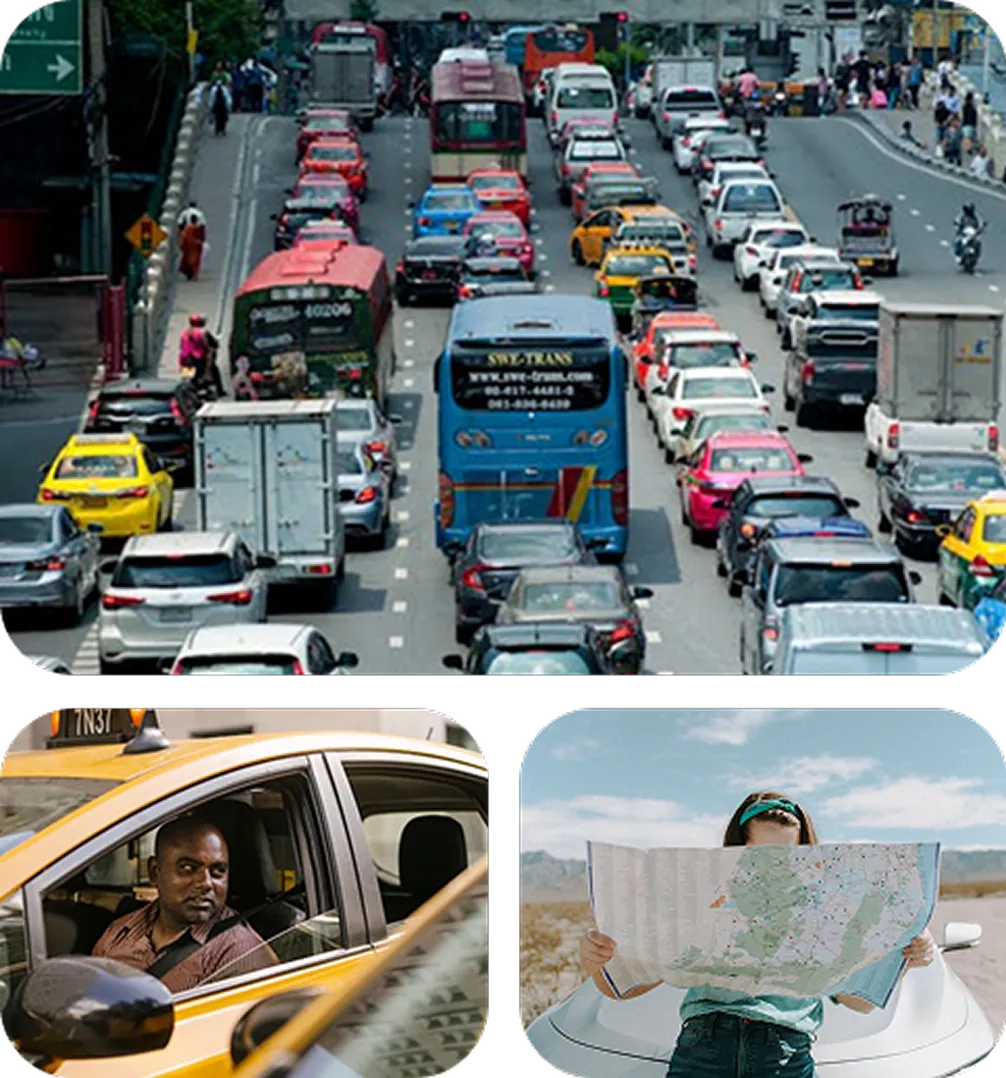
Google Maps helps cities, residents, and visitors navigate urban challenges with efficient ways to navigate cities, sustainable transportation choices, and a means to connect with local communities.
Key benefits
Eco-friendly routing
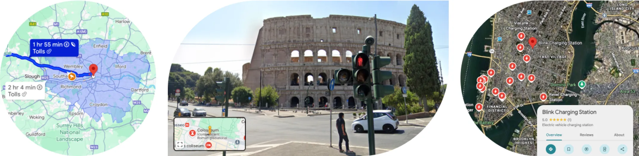
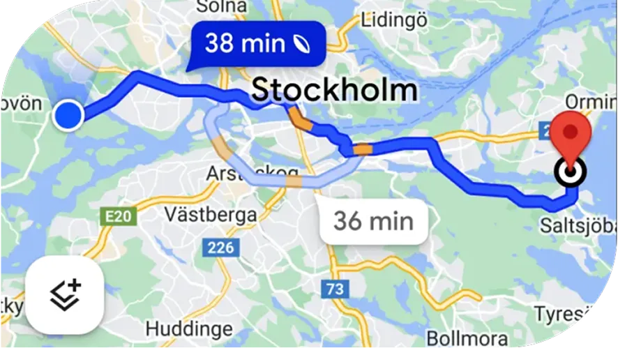
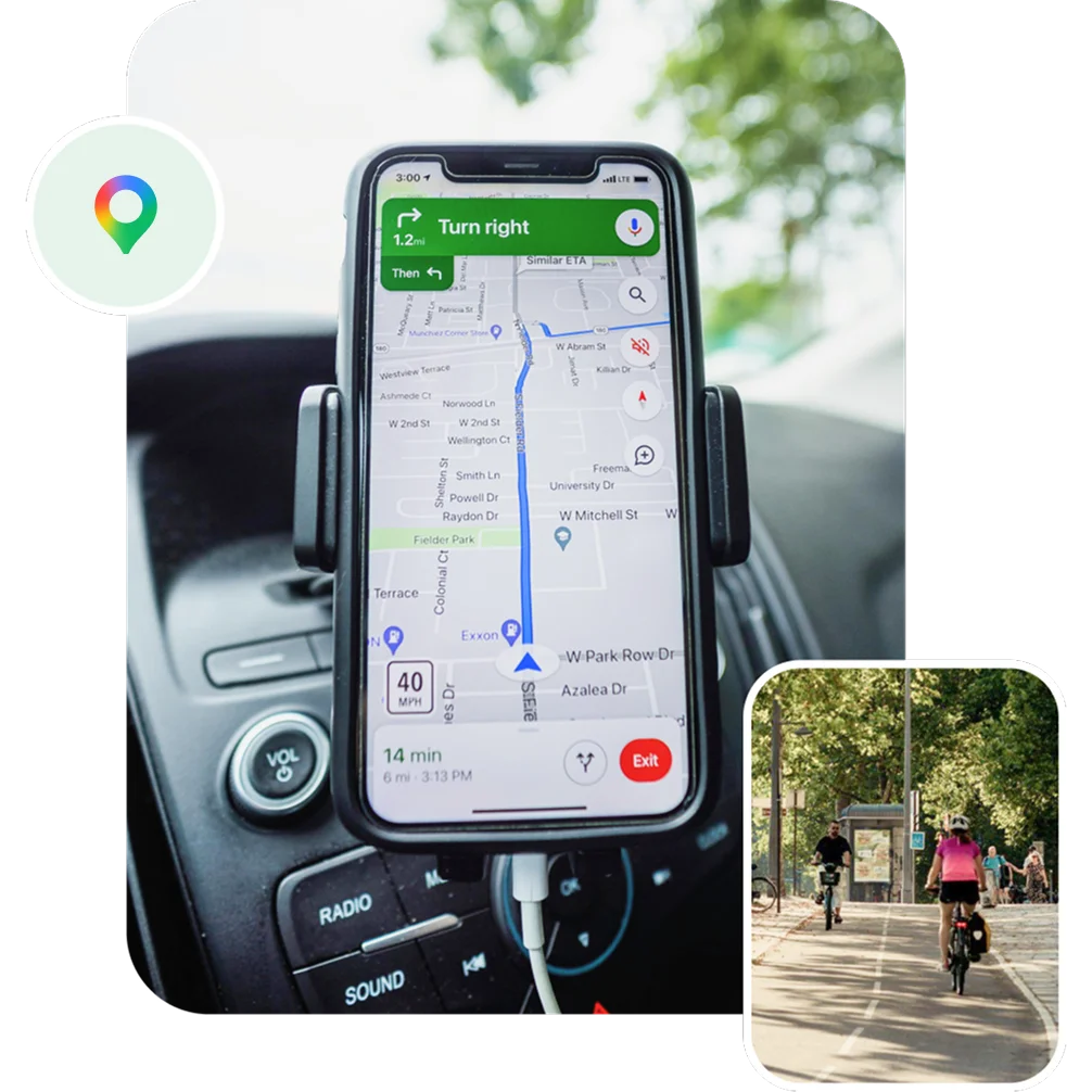
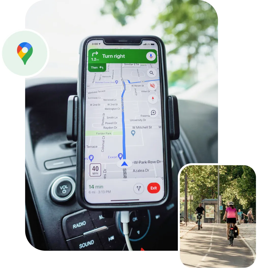
This feature uses AI to suggest fuel-efficient routes with fewer hills, less traffic, and constant speeds, helping drivers save money on fuel and reduce their carbon footprint.
Inclusive and accessible options
Google Maps promotes equity with accessible routing options, including wheelchair-accessible routes that feature elevators instead of stairs.
Mode suggestions
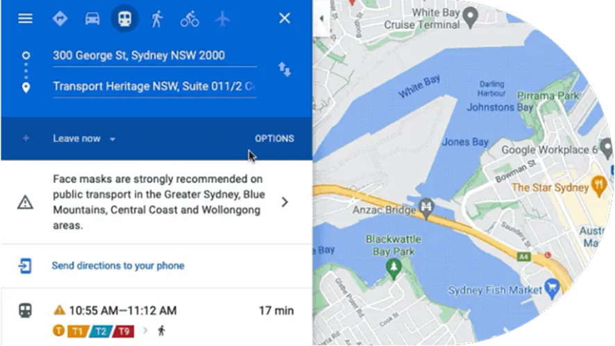
Google Maps proactively suggests lower-carbon travel alternatives like biking, walking, or public transport to encourage sustainable travel choices.
Street View feature
Provides a visual way to explore and navigate, allowing users to see a location's surroundings, such as parking availability or business storefronts, to make informed decisions. It also allows tourists to research and plan their itineraries by exploring the city before they arrive, thus promoting tourism and local economies.

Eco-friendly routing
This feature uses AI to suggest fuel-efficient routes with fewer hills, less traffic, and constant speeds, helping drivers save money on fuel and reduce their carbon footprint.
Inclusive and accessible options
Google Maps promotes equity with accessible routing options, including wheelchair-accessible routes that feature elevators instead of stairs.
Mode Suggestions
Google Maps proactively suggests lower-carbon travel alternatives like biking, walking, or public transport to encourage sustainable travel choices.
Street view feature
provides a visual way to explore and navigate, allowing users to see a location's surroundings, such as parking availability or business storefronts, to make informed decisions. It also allows tourists to research and plan their itineraries by exploring the city before they arrive, thus promoting tourism and local economies.
Impact on users and cities
For cities, Google Maps is more than just a consumer product; it's a powerful platform for urban management and community engagement. By contributing their authoritative data through programs like Google Maps Content Partners and Transit Partners, cities can ensure their information is accurately represented on the map. This collaboration allows cities to:
-
Improve urban mobility and safety
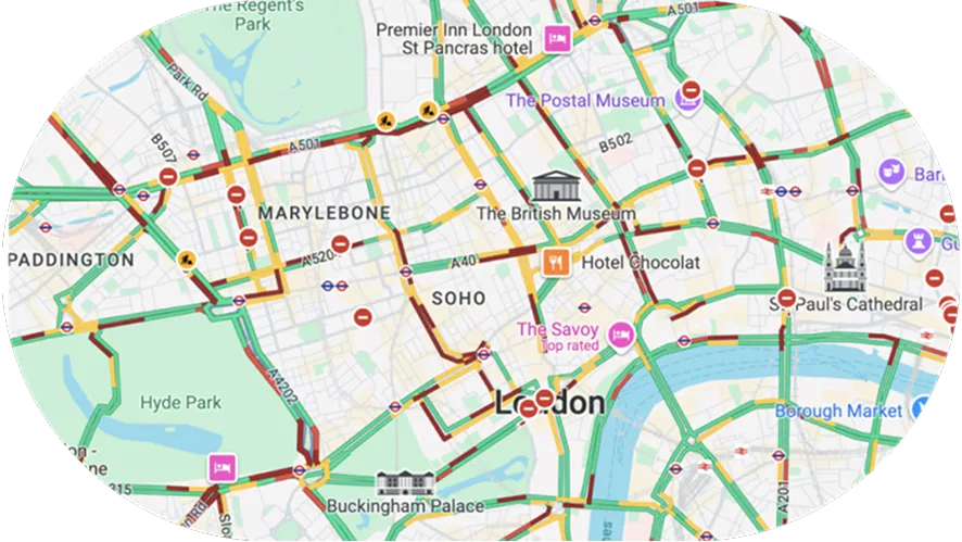
By sharing real-time information on road closures, construction, and speed limits, cities can help reduce congestion and improve road safety for all residents.
-
Promote sustainability
By providing comprehensive data on public transport, bike lanes, and pedestrian paths, cities can encourage citizens to adopt more sustainable modes of travel.
-
Boost local economies
By ensuring that local businesses, parks, and civic services are easily discoverable on the map, cities can support local commerce and make essential services more accessible to their constituents.


The Mayor and I are committed to making cycling in London as safe and accessible as possible and have been working closely with Google. I’m delighted that Google Maps is enhancing the navigation system for cycling.
With existing digital journey planning data, cyclists haven’t always been able to see the best route available to them. These updated algorithms will help Londoners choose safer cycling routes, whether it is a road with less traffic or part of the Mayor’s growing network of Cycleways, enabling more people to get around by bike as we build a greener and better London for everyone.”
Will Norman,
London’s Walking and Cycling Commissioner, Transport for London, UK
London’s Walking and Cycling Commissioner, Transport for London, UK
Learn more about Google Maps
See the product in action and explore how it works in the real world
